Sarah is skilled at creating interactive maps using ArcGIS, Tableau, Datawrapper and Flourish. Her interactive storytelling includes using template-based tools like ArcGIS/Esri and Cloud-based platforms, like Ceros, to create standalone webpages.
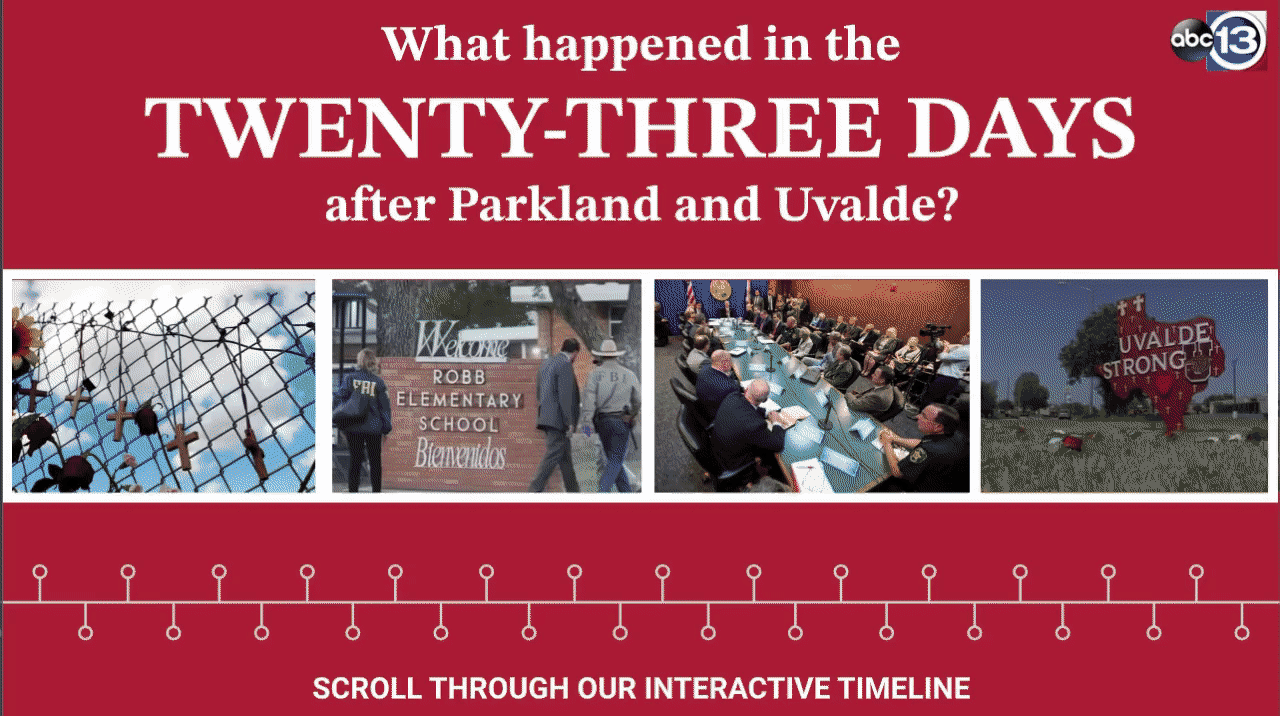
23 DAYS: How Texas and Florida responded differently after school shootings
This Regional Edward R. Murrow Award-winning story took Sarah to Florida, where the ABC13 investigative team examined how two Republican states responded differently to mass shootings at public schools.

Sarah build the web page for this investigation from scratch using the cloud-based platform, Ceros.
She also built an interactive timeline of events juxtaposing Texas’ response to a mass school shooting with Florida’s response.
CRIME HOTSPOTS
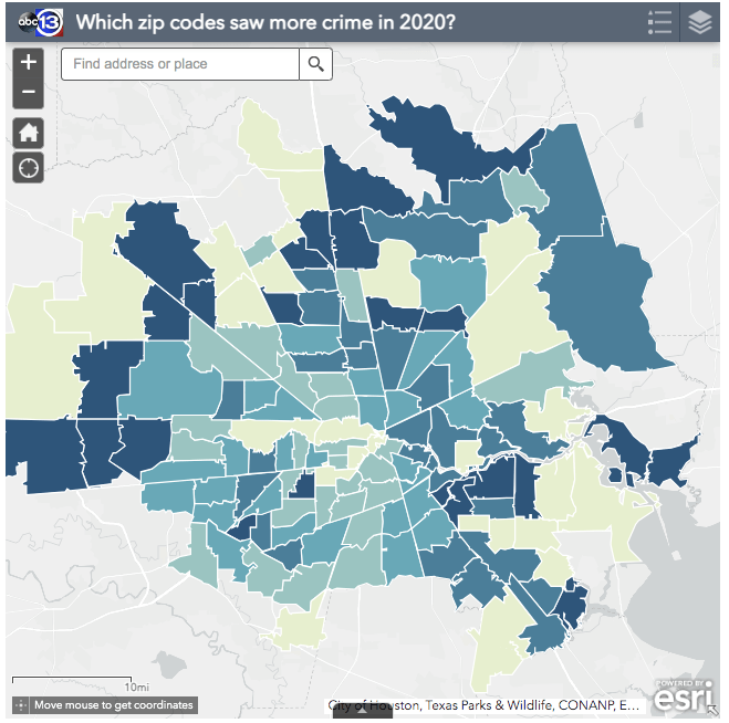
In an investigation that revealed one crime reported every seven hours in Houston, Sarah examined more than half a million incidents reported to to Houston police from 2019 through 2021. The data analysis involved removing duplicates, cleaning addresses and converting them to blocks in order to find the single block with the most crime reported. We mapped out ever single crime that occurred, but also analyzed the year-over-year change by zip code to provide a better resource for residents, who might want to look up what crime is like in their neighborhoods.
CONSUMER COMPLAINTS UNANSWERED
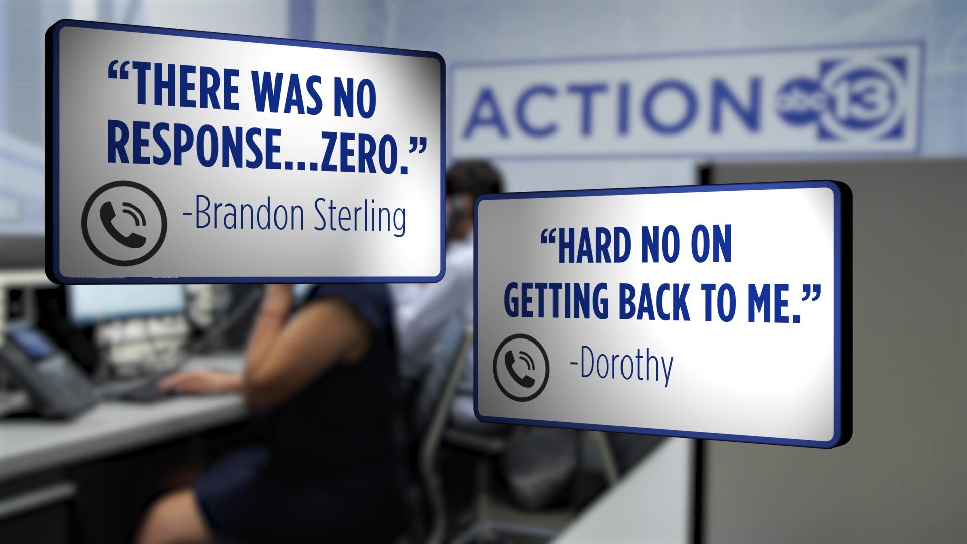
For this investigation, Sarah spoke with dozens of Houstonians who filed consumer complaints with the Texas Attorney General as well as current and former government employees about how complaints are handled. The investigation found complaints are up, staff is down and few consumers receive direct help.
Sarah designed and created the webpage for this story from scratch using Ceros.
VAPING AT ELEMENTARY SCHOOLS
As part of a groundbreaking effort to examine how often students were found vaping in schools, we sent open records requests to more than 1,000 Texas school districts, including asking for photos of confiscated devices. We knew we wanted to showcase the shocking photos we received online and, using ArcGIS, created an interactive map of the elementary schools where vaping occurred as well as a gallery of confiscated devices. View an interactive storytelling page Sarah created for this investigation.
